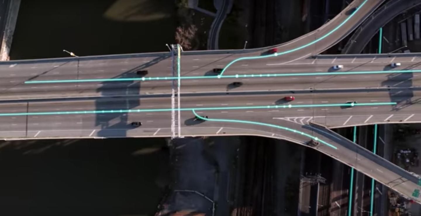
Uber Movement will let anyone see how traffic is moving in their city
Uber has decided to let everyone see the data it's known about for quite awhile—the way traffic moves. Analyzing more than two billion trips, Uber has put together details on traffic flows, patterns, and even road closures through a new launch aptly named Movement. The new launch will basically lets consumers see under Uber's hood.
Uber will pick up GPS from its Uber cars and also apps held by riders, and let users see how traffic is moving in a specific area. Apps including Waze do this to some extent as well, by having drivers (hopefully passengers) opt-in and tag details about their drives which are shared with other drivers.
Movement appears to work differently in that data streams will automatically upload fro existing cars in Uber's fleet. Movement will let users type in specific days and hours to note traffic patterns. Uber, however, is stressing that personal information about riders, drivers and cars will not accessible through Movement.
Uber imagines this as much more than a commuting tool, however, emphasizing how cities could adopt the tool to "help improve urban planning around the world," according to its new site.
Interested users are invited to sign up for access on Movement's site. Yet Movement will be aimed first at a more business market—think government groups or academics—before opening the data, eventually, to consumers.
But the curious can check out a few case studies online right now where Uber analyzed a DC Metro shutdown in the nation's capital, traffic flows in some of Australia's metropolitan areas and traffic patterns in Manila during holiday travel.
